Hadrian’s Wall, Roman Forts, and many, many, many sheep
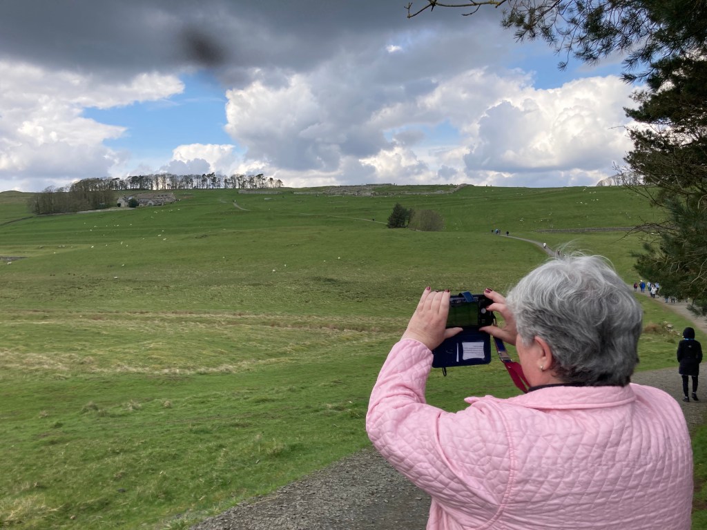
(Julie took a picture of me taking a picture at Housesteads Fort. The white dots are sheep.)
There are lots of sheep in the Northumberland area of England, and I think we saw most of them. At least those that were finished multiplying. In addition to sheep, there are a lot of Roman ruins, and one very long wall – Hadrian’s Wall. Hadrian’s Wall was put in place to separate the babarians of the north with the Romans in the south. The Romans had tried to take the north several times, and essentially just gave up and built a wall to keep them seperate. It was a momumental feat of enginerring, and really fun to see with Julie, who is a surveyor!
The morning began really early, and we learned the lesson that Scotland buses may be many, but they don’t always run with german efficiency on an early Sunday morning. And we learned that you have to wave them down, and not just stand at the stop. And when we called a cab, we learned that house numbers don’t run the same as they do in the US. C’est la vie, lessons learned and all that. We did make our bus to our tour of Hadrian’s Wall, and with about 30 other Dunnetteers, we headed off.
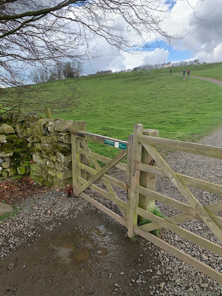

(The picture in the middle shows the gates that were put in place during Covid. They allow only one peron in at a time. They swung freely on their hinges. You push it open, get into the corner, then push it back, and your in.)
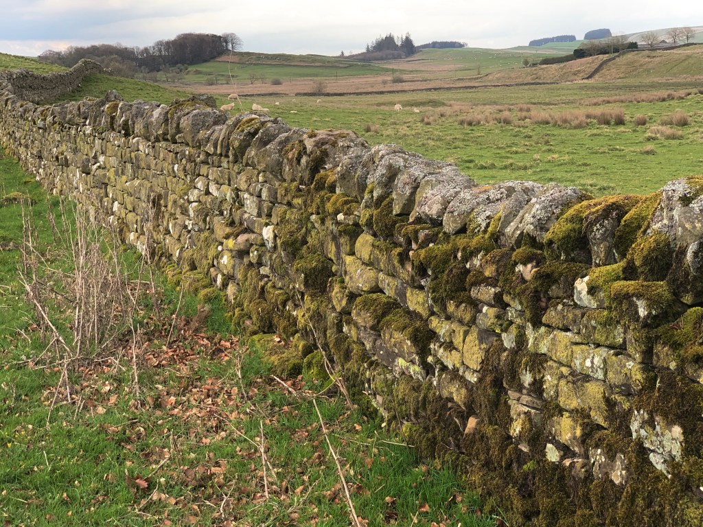
It was a very long ride – nearly 2.5 hours. Once we left Edinburgh, we were on mostly two lane highways. The countryside was sparsley populated with humans, but there were a lot of sheep. The hills were rolling, and the area almost looked like stretch marks when seen from the air, were indeed rolling swells of land, running semtrically. The pastures were very large, and separated by long stone walls or hedge rows. The scale of the area was vast. It felt in some ways like the Flint Hills in the Kansas grasslands in the US. Just endless!
The border between Scotland and England was a non event, and probably the most porous border I’ve ever seen. You came up a hill, and on top was a sign that said Welcome to England on side, and Welcome to Scotland on the other, then you dropped down the other side of the hill.
For those that have read the Lymond Chronicles, we could really see Francis and Richard riding back and forth through the area to Flaw Valleys. At one point, Julie mentioned to me very quietly that if you said loudly, “Look! There is Flaw Valleys!” on the bus, it would be akin to yelling fire in a theater. It doesn’t matter that it’s a fictional place, everybody would be looking! We also speculated that prior to the building of the hedgerows and stone fences, it would be really easy for a Kerr to smuggle away a few sheep or cattle. Once over a hill, they would be virtually impossible to find
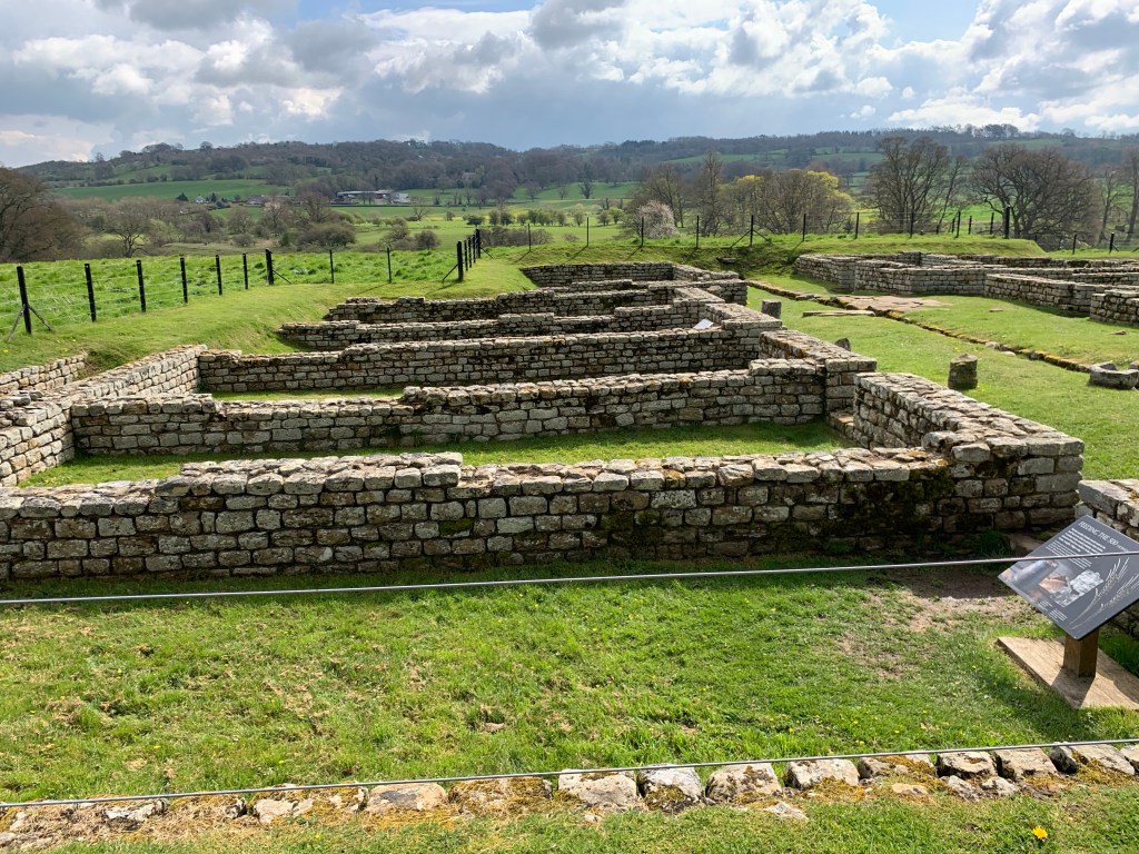
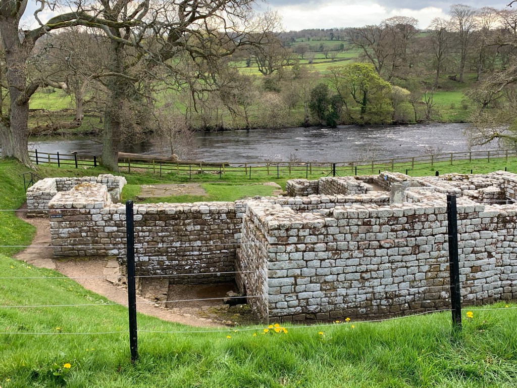
Our first stope was at Chesters Roman Fort and the Clayton Museum. The Clayton house is a Georgian manor, and one of the owners wanted a lovely lawn down to the river. When trying to clear the land, he discovered a fort. A long story made very simple, but there it is. John Clayton, the last owner of the land, excavated extensively, and what he found was a fort that had housed 500 soldiers. It was one of the forts on Hadrian’s Wall.
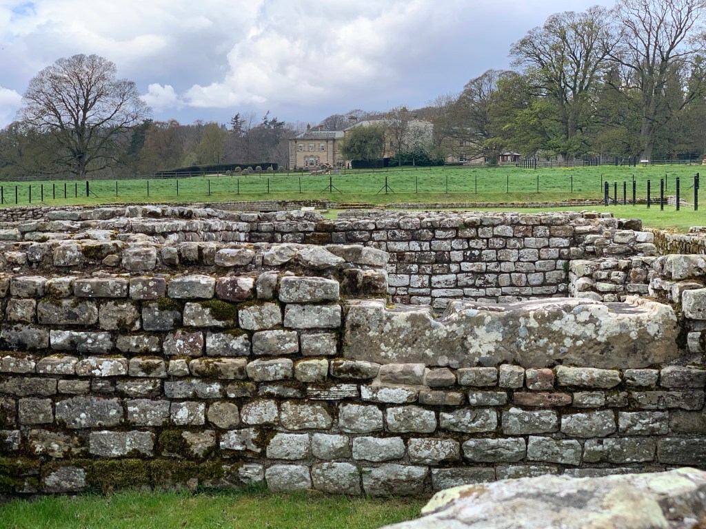
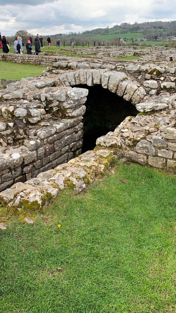
Hadrian’s Wall itself is no longer completely in tact. In some places, it’s gone altogether, and in others you can see it. But in the time it was build, around 124 AD, it ran 80 miles east to west, coast to coast. And at regulary intervals, there were forts. The barbarians must have been tough indeed to require this much attention to keep them in place.
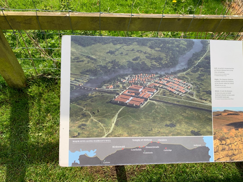
The wall bisected the fort. I’ve added a picture of the map that one of the plaquards showed. A part of the wall can still be seen on the other side of the river. Much of it has gone. John Clayton found people taking the stones for pasture walls, houses, and whatever else. As always, much is lost to recycling of materials. Those lovely dressed stones must have been very tempting!
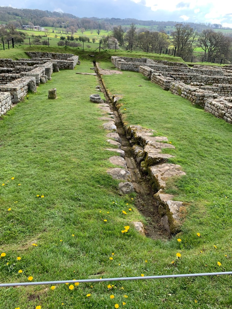
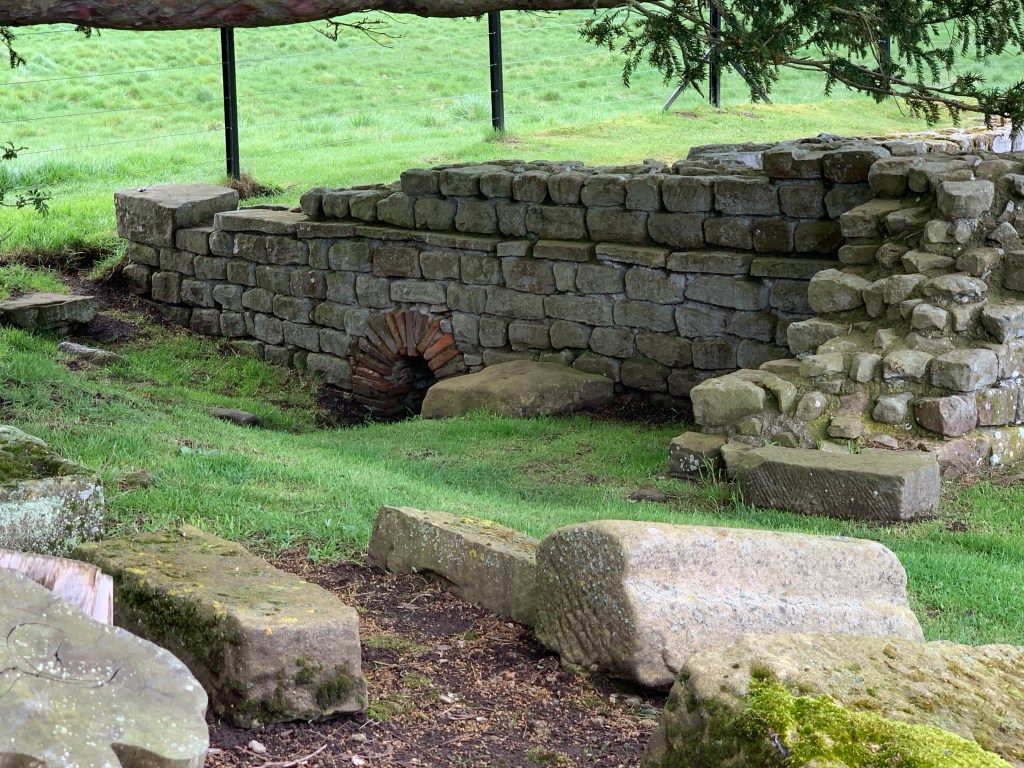
Parts of the gate house remains. One side had a drain under it, using gravity to feed fresh spring water down the hill. Beyond that were the barraks. Horses were expensive, so soldiers took no chances. Horses and soldiers lived together in the same rooms. The horses were not large – they were tough, compact animals, capable of holding soldiers and covering difficult terrain. Down the center of the barraks was a ‘runnel’ (surveyors term!), or a gutter of sorts, channelling fresh water through the area. This was not for waste water, but fresh. Urine would have been collected and used for dying leather and wool. Romans used everything if possible.
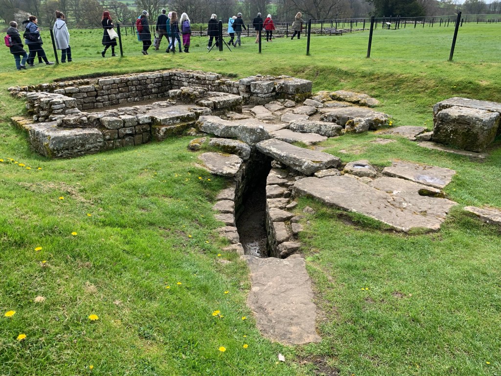
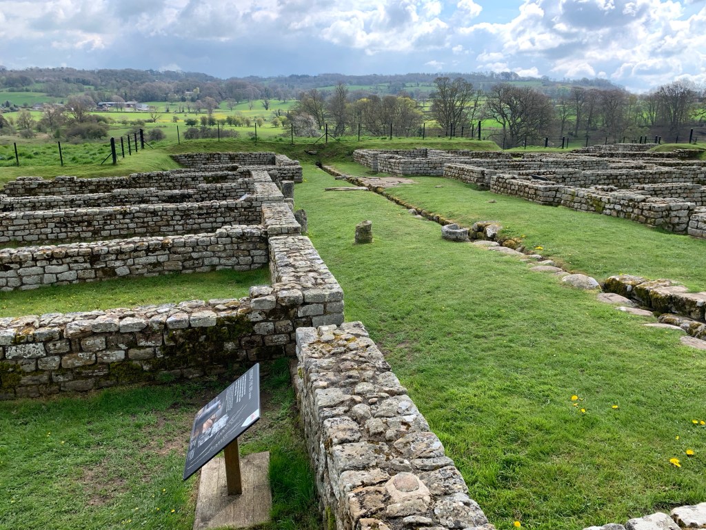
The Commander’s house was much larger. There are square pillars that supported a stone floor, and under these pillars would be small pots of coal, heating the floor. So in 124 AD the concept of heated floors was in use. Go figure. Another excavation found the money house. When they found it, the wooden door was still intact. But once exposed to air, the door disinigrated. The excavators were very excited to find out if it held money. Instead, it held a sophsicated counterfitting operation! Base metal cast, then covered with a thin veneer of gold.
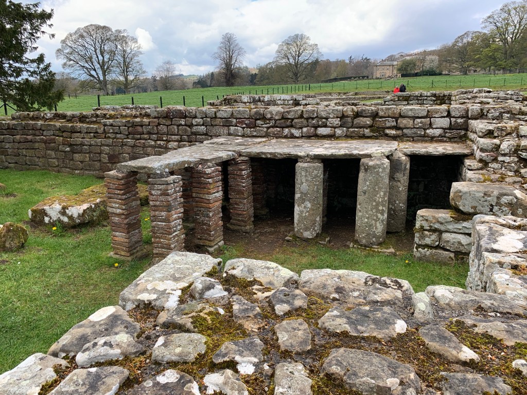
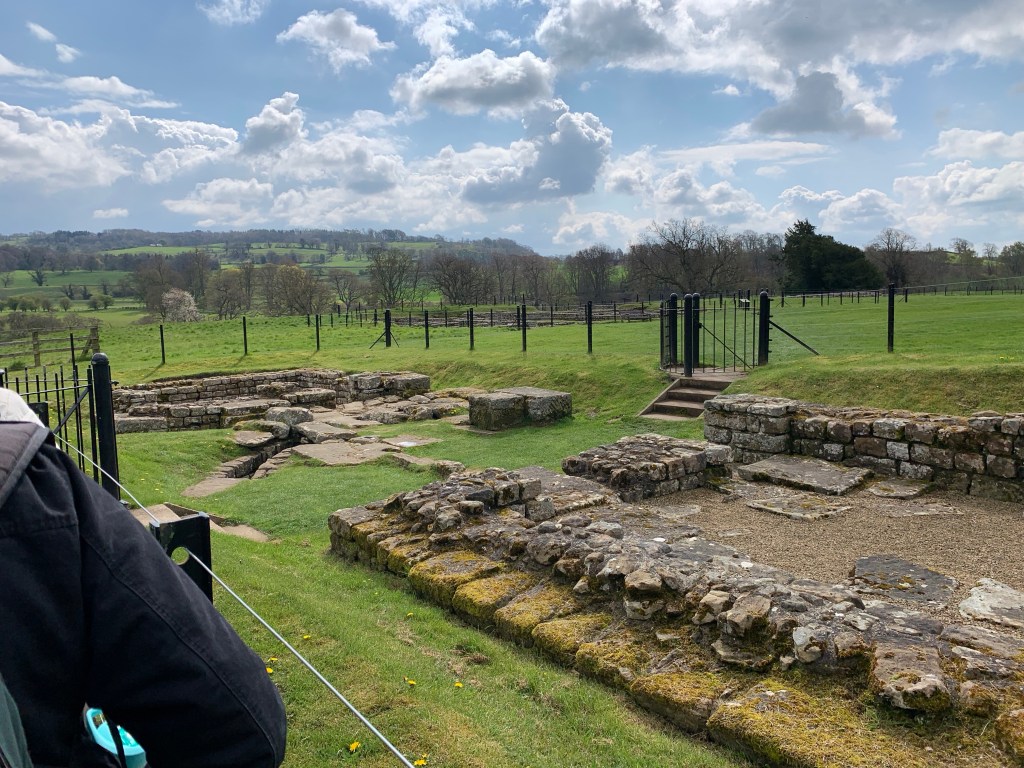
The bath house was the central draw of this particular excavation. It was large. It would have to be to handle 500 soldiers, and sophisticated.
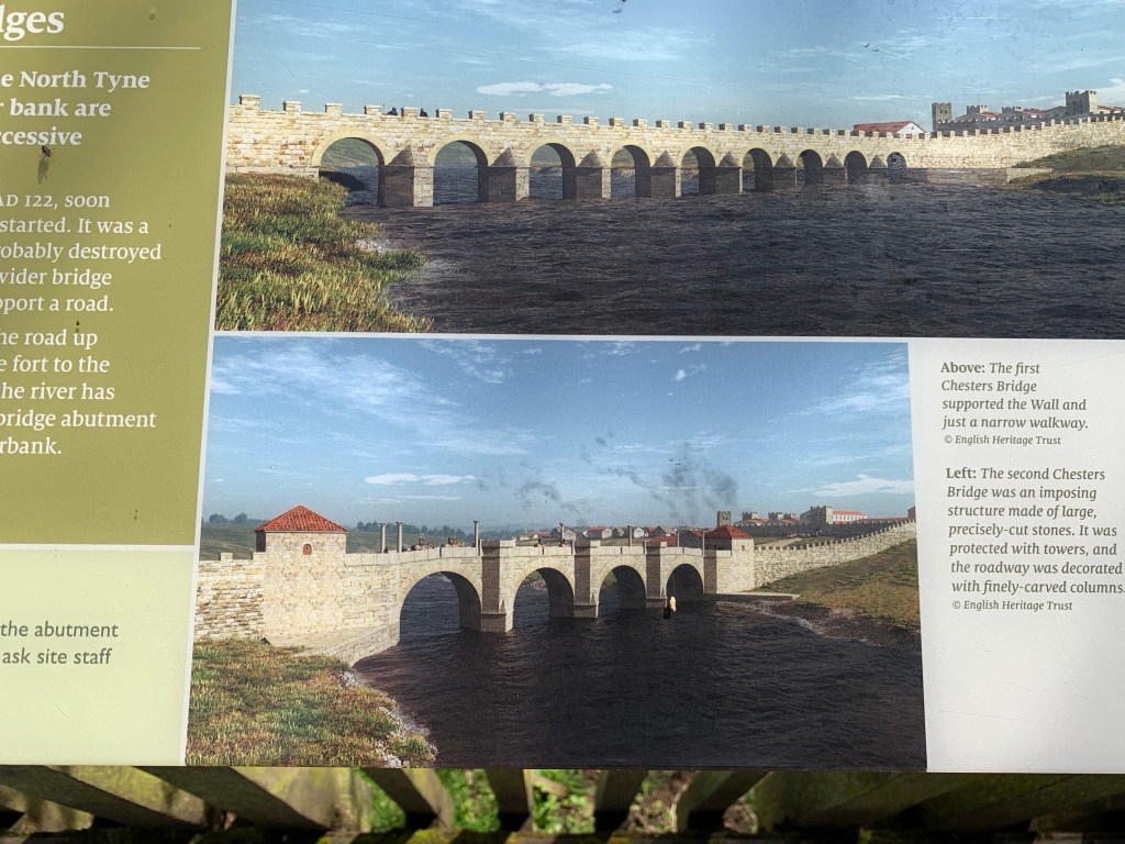
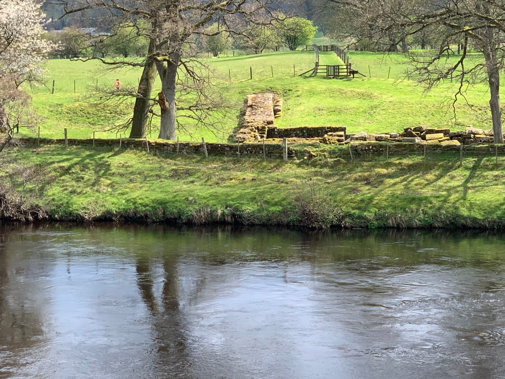
As I’ve said, the wall can be seen on the other side of the river. Over the time the fort was in operation, there were at least two bridges. The first was less elaborate, and the second much more so. The wall then ran straight through the fort. Our guide said that the wall is now covered back up with earth in order to protect it.
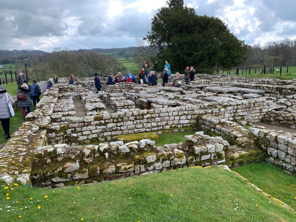
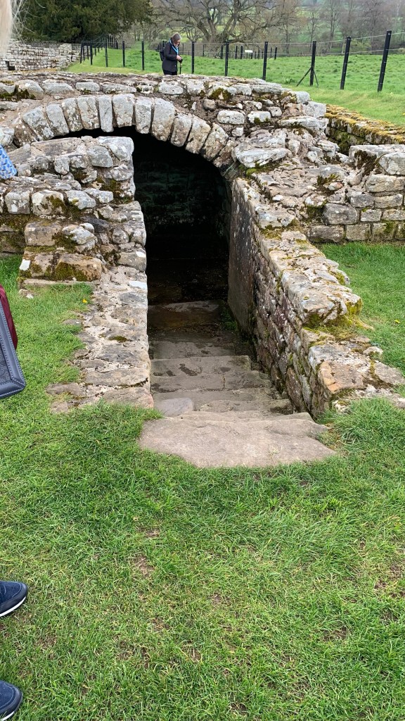
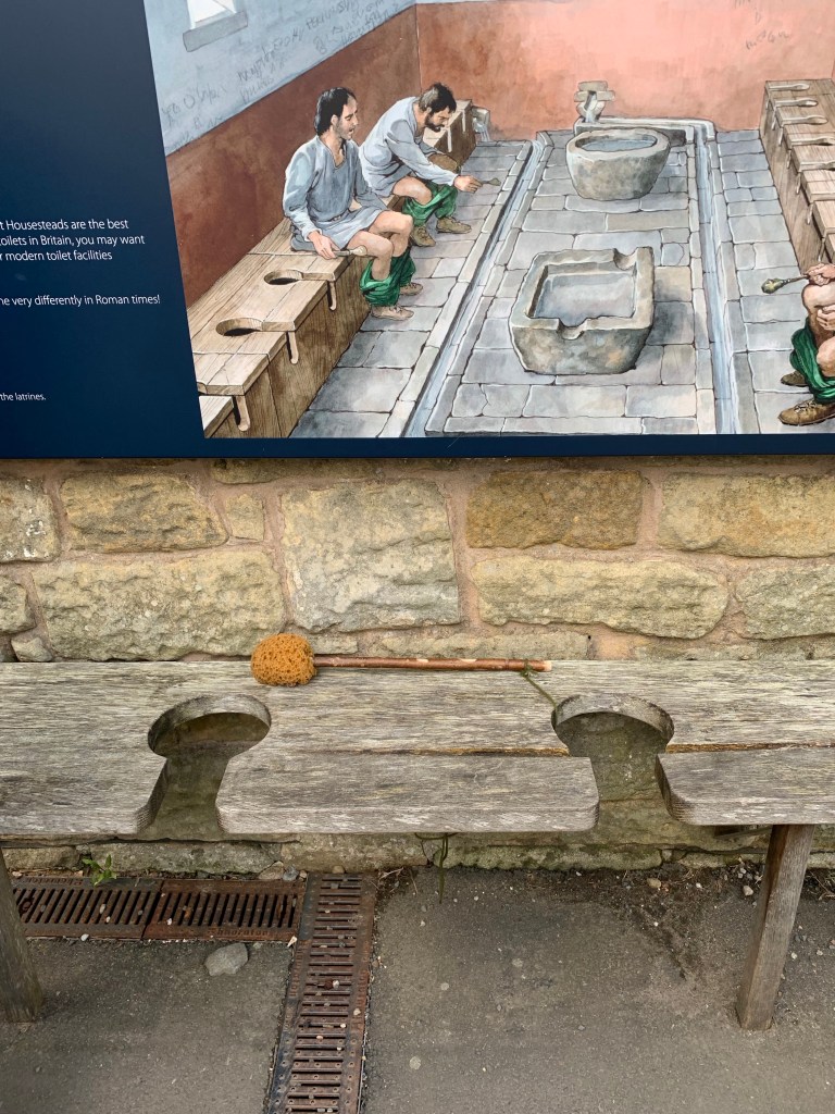
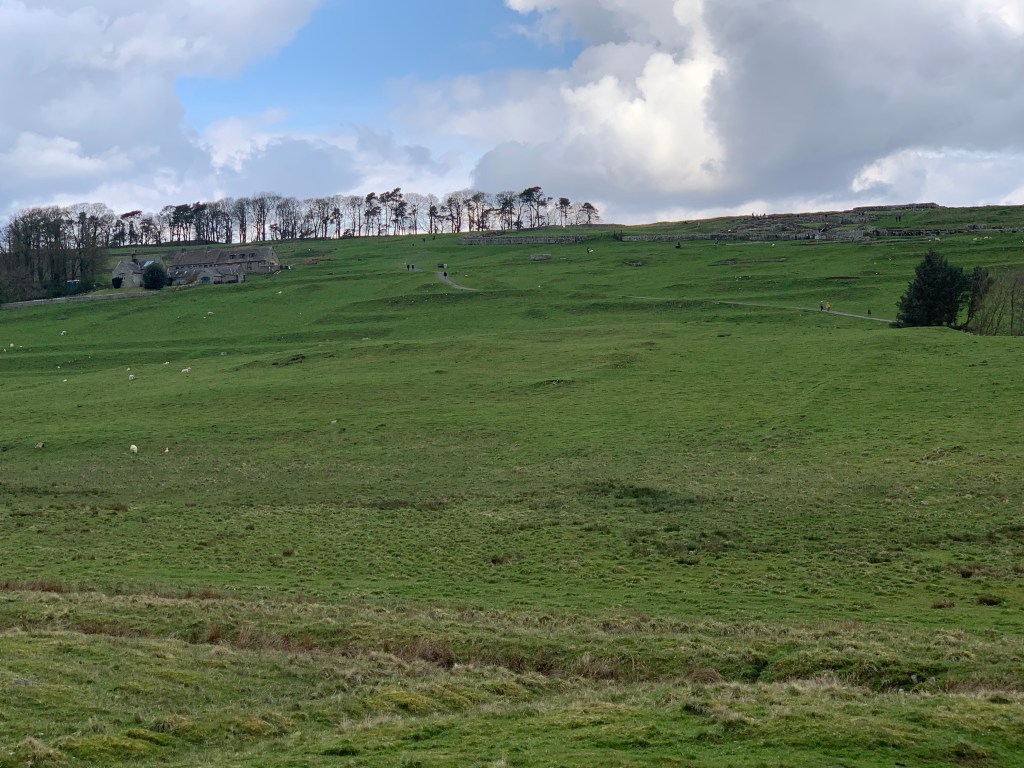
After that, we headed down the road about 10 minutes to another fort, this one Housesteads Fort. We could see it on the far hillside long before we reached the parking area. While Chesters was known for it’s bathhouse, this one was known for it’s latrine. Below the explination of the latrine was a wooden replica of the bench, complete with a sponge on a stick which was used to clean yourself.
The walk down into the valley through the sheep field, and then up the hill was long and steep. I made it about half of the way then turned back. My ankle and knees just weren’t up to it. Julie made it up to the top and look at the museum and walked amoung the ruins. We were told by the guide that the view from the wall was spectacular – you could see for long distances on either side as it was on the crest of the hill.
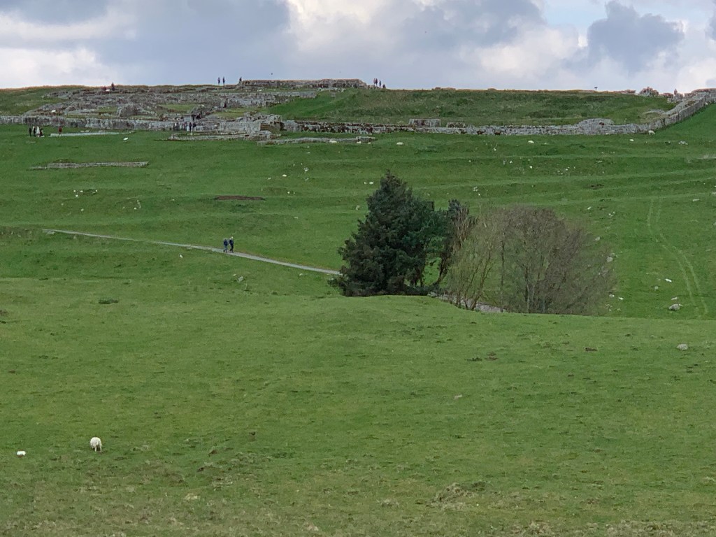
(It’s hard to see in these two pictures, but the roman runins are on the top of the hill. The top picture is a zoomed in version. In the bottom picture, the building on the left is the museum, and the runis on are the right. It gives you a sense of scale. The white dots are the ubiquitous sheep.)
I ended up sitting at the parking area with a couple of others from our group, and chatted. After that we were back on the road, and back to Edinburgh at about 6pm. I had fun, and really learned a lot.
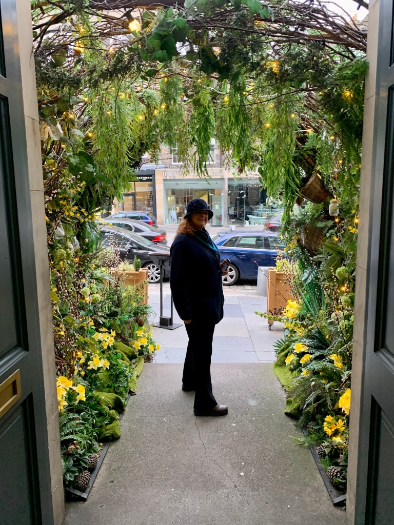
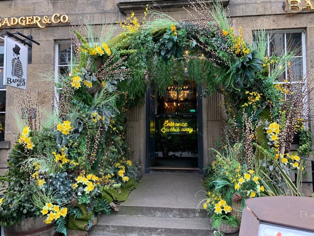
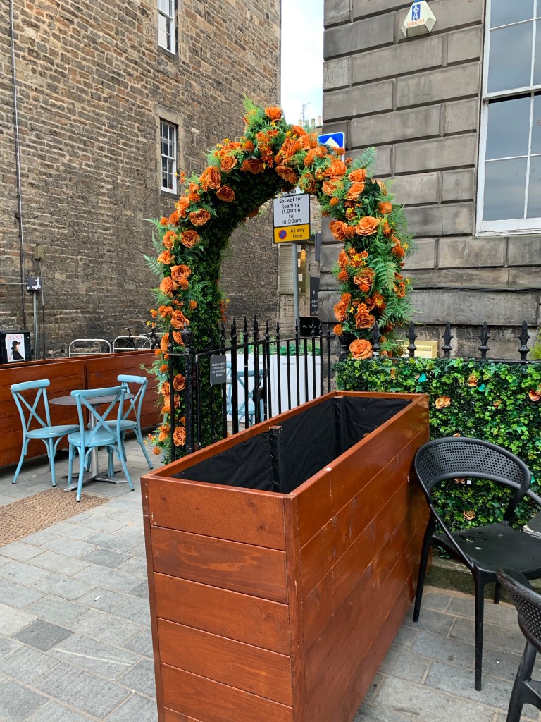
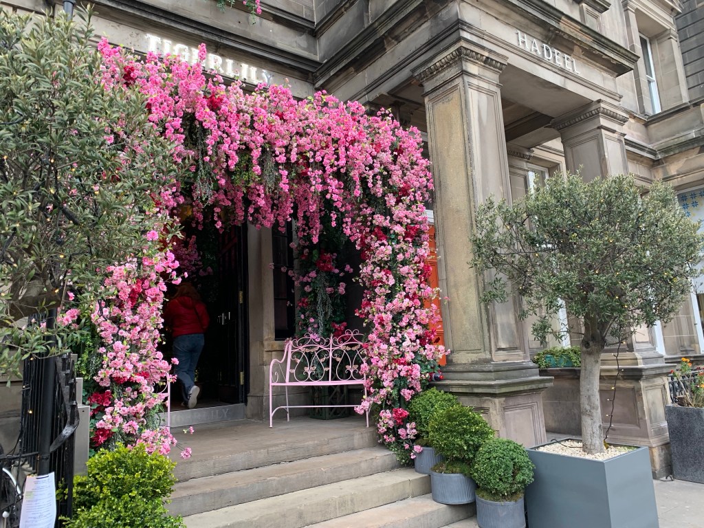
Julie and I left Charlotte Square and headed up Georges Street on the lookout for a place to eat. One thing that I have noticed, is that a lot of places decorate their doorways. I suppose if all the doorways look the same (think Georgian facades) there has to be some way to be noticed! The other thing is that in unexpected places, you’ll turn, and see the castle looming in front of you. At other times, you can’t see it all.

This is an amazing city, and I’m looking forward to seeing more of it. Tomorrow we explore the Royal Mile, tour and attend a concert at St. Giles Church. Should be fun!
(Pictures of the doorways are below.)

I love reading your travel logs. They are fun, and very informative. It looks like you’re having a great time.
LikeLike
Bring back a sheep! Office pet!!!
LikeLike
I’m not to sure Ted would approve.
LikeLike
I’m enjoying your blog very much. As someone with borders ancestry who grew up in the North East and with relatives in Edinburgh it’s interesting to see the perspective of someone who is seeing it all for the first time
LikeLike
I’m so glad you are enjoying it! I’m loving Scotland. It’s such a beautiful country, and such a rich history!
LikeLike